
With TÜRKSAT Geographic Information Technologies (CBT) Brand; Image processing, digital photogrammetry, global positioning, location-based services, mobile (lidar) cartography, geographic data production and geographic programming services are offered using Geographic Information Systems and Remote Sensing technologies.
Frequently Asked Questions
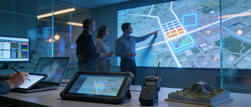
It is a set of technologies that encompasses the process of collecting, mapping, and analyzing data based on location information to solve complex problems.
It offers solutions to many structural problems such as monitoring illegal construction, analyzing the productivity of agricultural lands, predicting natural disaster risks, and pinpointing faults in infrastructure networks.
Kurumun ihtiyacına özel bir proje tasarımıyla başlanır. Uygun veri kaynakları (uydu görüntüleri, saha verileri vb.) belirlenir, analiz edilir ve kullanıcıların kolayca erişebileceği bir platforma dönüştürülerek mevcut sistemlerinize entegre edilir.
It enables the creation of sustainable use plans by mapping the current state of natural resources. It guides policy making in areas such as disaster risk analysis and environmental pollution monitoring.